
Workspace
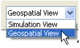
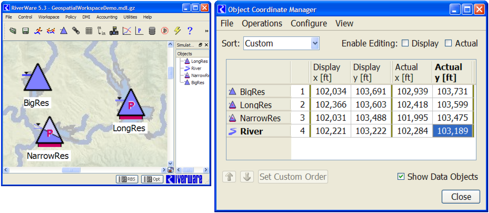
Geospatial Canvas
A new Geospatial View canvas was added to the RiverWare workspace. This canvas allows you to add and configure a georeferenced image file and then specify georeferenced coordinates for each object. This canvas also has enhanced display settings for the size of objects and label location, font and color.
For more information, see Geospatial View in User Interface.
Images on the Simulation View
Two enhancements were made to the background image support for the Simulation View only. These enhancements are not relevant for the new Geospatial View, which implements distinct support for a background image.
• Background images are no longer limited to image files in or under the loaded model file directory. That limitation can still be imposed through the use of a new checkbox. With this enhancement, it is no longer necessary to load (or save) the workspace before configuring the Simulation View's background image.
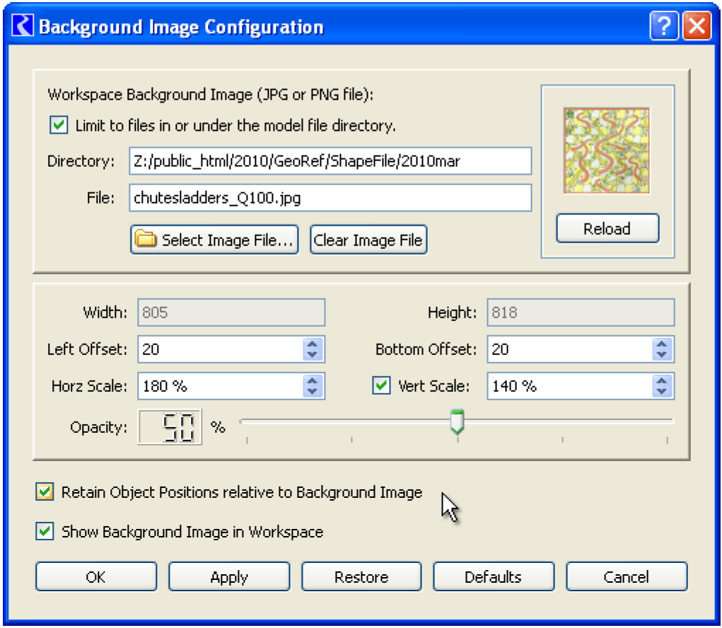
• When re-scaling the image or changing the pixel offsets from the left or bottom edges of the workspace, the user has the option to "Retain Object Positions" (in the Simulation View) relative to the background image.
For more information, see Background Image in User Interface.
Note that the Geospatial View will not support independent re-scaling of the image's horizontal and vertical dimensions, nor independent horizontal and vertical scales for real-world coordinates. Also the Geospatial View will not support map images rotated with respect to compass direction. Considering those limitations, some users may prefer to continue to use the Simulation View with a background map image.
Revised: 08/02/2021